A phone holding an offline map is a better navigation instrument than a paper map in most of the ways that matter. It shows the position continuously, it holds the whole route at several scales, and it can say how far the next turning is. It also has a battery, a screen and a tendency to fail in exactly the weather that makes navigation difficult. The instruction to carry a paper map is usually delivered as a rule of character. The mechanical version is more useful: the backup is chosen according to the failure modes of the primary.
Deciding what to carry therefore begins with failure modes rather than preferences. Battery capacity, cold, water, screen visibility, physical damage, and whether the map data is genuinely stored on the device rather than streamed. A paper map and a compass answer several of those at once, and answer none of them as quickly as a glance at a screen.
Offline tiles, and how much space they take
A map on a phone is either a set of downloaded images or a vector file, and the difference changes what it costs to store.
Raster tiles are small images, layered by zoom level. The same ground appears as a few tiles at low zoom and as hundreds at high zoom, so a modest area at detailed scale can run to a substantial amount of storage. A district-sized area with contour detail typically occupies hundreds of megabytes once several zoom levels are included. Raster maps look exactly as designed, and they degrade predictably if part of the download is missing.
Vector maps store the underlying geometry and render it on the device. They take far less space for the same area, they can be rotated and scaled without blurring, and they depend on the app’s renderer rather than on images.
Two habits matter more than the format. Download the area on a home connection well before the trip, and verify it in the field with the phone in aeroplane mode, where a missing tile becomes obvious rather than being quietly filled from the network. An app that only caches what has been viewed will have gaps exactly where the walk goes.
Where the battery goes
Battery consumption is dominated by the screen and the satellite receiver, and both are voluntary costs.
The screen is the largest draw on most phones. Brightness in daylight, a long screen timeout and frequent checking consume more than any navigation calculation. The satellite receiver is the second largest, and its draw rises when the signal is poor, because the phone works harder to hold a fix in a valley or under tree cover.
The measures that work are unglamorous.
- Aeroplane mode removes the constant search for a signal in areas with no coverage, which is often the single largest saving.
- Brightness and timeout set low, with the screen off between checks.
- Low power mode, which limits background activity.
- Occasional checks rather than continuous tracking. Recording a track is useful and it costs power for the whole day, so the decision should be deliberate.
- Warmth. Cold reduces the energy a battery can deliver, and a phone that reads thirty per cent in a warm room can shut down in a cold wind. Carrying the phone in an inside pocket and keeping it warm before use is more effective than any setting.
Power banks, charging and cold
A power bank is measured in milliamp hours at a nominal voltage, and watt hours are the number that compares banks of different internal voltages. Charging is lossy: cable and conversion losses mean a bank delivers noticeably less than its rating, and a phone that charges slowly in the cold takes longer to reach the same level.
Charging while walking is possible but slow, particularly in cold weather, and a cable strain relief is worth having since the port is the part that fails. A bank kept in a hip pocket stays warm enough to work. Charging a cold phone should wait until it is warm again, since charging a cold lithium cell is harder on it than discharging one.
Screens, gloves and weather
A capacitive screen does not respond to most gloves, and a wet screen behaves unpredictably. Conductive-fingertip gloves and a screen that can be locked and wiped quickly both help. A phone carried in a chest pocket or a small map case is accessible in gloves and rain, which matters more than the protection of a deep pack pocket where reaching it requires stopping and removing the pack.
Condensation is the quiet problem. A phone moved from a cold outside pocket into a warm tent or a jacket will collect moisture, and the same condensation can fog the inside of a case. Sealing the phone in a dry bag before it warms reduces that, and the bag also protects the screen from rain. Bright sunlight on a screen is best answered by increasing contrast and steering away from the sun rather than by maximum brightness, which flattens the battery at the worst moment.
The compass and map work that needs no power
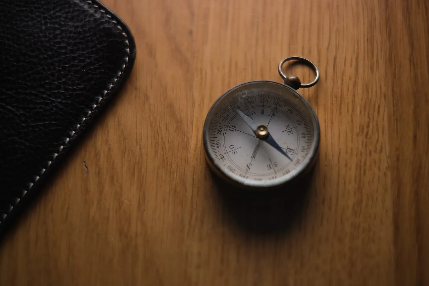
A baseplate compass works in any weather, at any temperature, and does not need a signal.
The skill that matters is not the bearing itself but the relationship between the map and the ground. The grid on a map is aligned to grid north, and a compass points to magnetic north, and the difference between them varies with location and changes slowly over time. A local figure for that difference, applied when converting between the two, is part of using the tool correctly rather than a detail for enthusiasts.
The core techniques are few and worth practising on an easy day: setting the map so the grid lines and the ground agree, taking a bearing from the map and following it, walking on a bearing with an allowance for drift, following a linear feature such as a wall, stream or fence as a handrail, and estimating distance by pacing and by timing a known pace on flat ground and on climbs. Contours read as a shape rather than a set of lines, and most route finding on British hills comes down to re-entrants, spurs and the direction water flows.
Paper, printing and the map case
The paper backup needs as much planning as the phone.
A scale of 1:50 000 covers a day’s walk on one or two sheets, and 1:25 000 gives the detail that matters on complex ground. Print the area that will be walked, and mark the route and the escape options. A waterproof map case on a lanyard keeps the map dry and readable, and folding it to the section in use removes the need to open the whole sheet in wind. A written route plan, left with someone who is not on the walk, is the cheapest safety measure available and costs no power at all.
Deciding what to carry
- Estimate the hours the phone will be needed and the power each hour of actual navigation costs, then size the bank from that number.
- Download the map area in advance and confirm it works with the network disabled.
- Carry a paper map of the route and a baseplate compass, and know the local difference between grid and magnetic north.
- Keep a spare compass and a paper copy in a separate place from the primary system.
- Leave a route plan with someone at home, including the finish time and the point at which alarm is warranted.
- Treat the phone as the primary instrument and the paper as the dependable one, which is what both actually are.